


Kentmere round, 20th May 2015
- Anthony

- May 20, 2015
- 3 min read
12.5 miles
1158 metres ascent
7 hours
If you plan to walk from Kentmere get there early. The tiny parking area was full so I back-tracked half a mile to find a socially responsible spot to leave the car for the day.
Every time I’ve driven up Kirkstone Pass I’ve seen the west flank of these hills looking amazing. This round is in one of my nice coffee table walk books and sounds great.
The valley leading to the hamlet of Kentmere is lovely and Kentmere itself is charming and sleepy, spread out around wiggly lanes beneath the high hills. The valley is green and flowery with rounded summits all round and some interesting craggy bits at the start (which can be scrambled on, according to another book).

Looking back towards Kentmere from the Garburn Pass
The Garburn Pass is the first destination, then height and distance are gained easily and steadily until the first summit of Yoke. First lunch stop was half a mile later on top of Ill Bell, with it’s two trig-point-shaped cairns and magnificent views. The onward ridges look particularly inviting. The weather wasn’t as sunny as promised but this has benefits for photography so I wasn’t complaining.

Looking to Nan Bield Pass from Ill Bell

The onward ridge route to Thornthwaite Crag from Ill Bell

The south flanks of High Street from Ill Bell


Navigation gets a little harder when you reach the wide spaces of Thornthwaite Crag (nothing craggy about it from this direction) and High Street. Few aids to navigation, except a wall (marked) and a trig point on High Street (not marked on my OS map) but it wasn’t too hard to compare the map with reality and work out the way to Mardale Ill Bell and Nan Bield Pass.

Looking back to earlier in the route, to Ill Bell (distant higher summit) and Froswick (middle lower summit)

Looking west from the ridge leading to Thornthwaite Crag

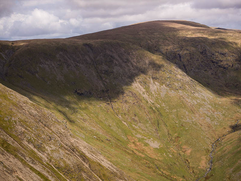
On the way from High Street looking east to the craggy north side of Mardale Ill Bell
The book route then goes down from the pass to the valley but I still had plenty of energy and it seemed a shame not to carry on round the summits so I went up to Harter Fell. The onward route south is now much flatter, more like high moorland than a ridge (there isn’t really a word to describe this – “flat” isn’t right to describe a very blunt widely spread ridge but I can’t think of a better one).

The “flat” wide ridge on the return leg looking towards Kentmere Pike (sunlit in the middle distance).
When I arrived at Kentmere Pike and an eat/drink stop I looked at the map and realised I’d done this part of the walk before when I did a round from Sadgill, now just below me to the east. I hadn’t recognised it because a) I was going in the other direction and b) it was socked in with cloud last time.

Looking south from Kentmere Pike towards Shipman Knotts and Windermere

Looking northwards to the first half of the route, with Ill Bell and Yoke and Froswick and you can just see the green meadows where the hamlet of Kentmere is.

Looking south down the Kentmere valley

Looking north, up the valley
I took a path from Kentmere Pike to the valley which I had suspected might be hard to follow and it was. Very little evidence of it on the ground but there’s a wall as a useful landmark and there is a sloping trickle of water that follows the line the path is shown as taking on the map and I thought this looked like the right kind of terrain feature so I followed it, eventually finding a gate into a track by a few houses which looked like exactly where I was supposed to be.
It was now about a mile and a half of road walking to the car but these are tiny single-track roads with dry-stone walls and flowers and blossom so no hardship.


Kentmere
I found later at home that I could have carried on the high level route to Shipman Knotts (about a mile further on than where I started the descent) which would have made for a more satisfying finish but I guess that gives an excuse to do this walk again.
Comments